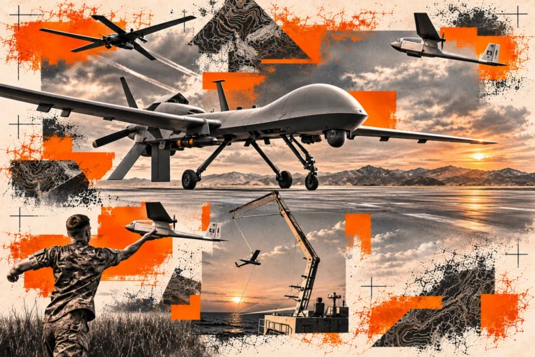
The U.S. military classifies unmanned aircraft systems, or UAS, into Groups 1 through 5 based primarily on aircraft weight, normal operating altitude, and airspeed. These UAS groups help distinguish small tactical drones from larger, long-endurance unmanned aircraft and provide a common framework for evaluating mission requirements, payloads, communications, and tracking systems.
Group 1-3 UAS, often described collectively as small unmanned aircraft systems (sUAS), range from lightweight reconnaissance drones to larger tactical aircraft. Groups 4 and 5 UAS include heavier platforms designed for longer-range and higher-altitude missions.
Understanding the differences between Group 1, Group 2, Group 3, Group 4, and Group 5 UAS can help military organizations determine which aircraft, sensors, communications systems, and UAS tracking technologies are appropriate for a mission.
What Are the Five UAS Groups?
Military UAS groups are generally differentiated by three primary characteristics:
- Aircraft weight
- Normal operating altitude
- Airspeed
These classifications describe general aircraft categories and operating envelopes. They do not replace airworthiness requirements, airspace restrictions, mission-specific operating procedures, or platform limitations.
Group 1 UAS: Lightweight, Close-Range Drones
Group 1 UAS weigh 20 pounds or less, normally operate below 1,200 feet above ground level, or AGL, and fly at speeds below 100 knots.
This category includes many lightweight commercial quadcopters and military reconnaissance drones. Their small size allows individual operators and small units to transport, launch, and recover aircraft with relatively little supporting infrastructure.
Group 1 drones commonly support missions such as:
- Local reconnaissance
- Intelligence collection
- Area observation
- Force protection
- Training exercises
- Short-range surveillance
Electro-optical and infrared sensors can provide operators with visibility beyond their immediate position. Because Group 1 platforms are frequently deployed in large numbers, maintaining accurate aircraft location information can become increasingly important during distributed sUAS operations.
Classification limits should not be interpreted as flight authorization. Operators must follow applicable airspace rules, aircraft limitations, and organizational procedures.
Group 2 UAS: Small Tactical Aircraft
Group 2 UAS weigh between 21 and 55 pounds, normally operate below 3,500 feet AGL, and fly below 250 knots. These aircraft bridge the gap between lightweight drones and larger tactical UAS. They can support reconnaissance and surveillance missions while accommodating larger payloads, communications equipment, and sensor packages than many Group 1 platforms.
Group 2 systems may differ substantially in:
- Payload capacity
- Flight endurance
- Communications range
- Launch and recovery methods
- Sensor configurations
- Navigation systems
The Group 2 classification identifies a general performance envelope rather than guaranteeing that every aircraft within the category can operate at the maximum weight, altitude, or airspeed thresholds.
Mission planners should evaluate the capabilities and limitations of the individual aircraft rather than relying solely on its UAS group classification.
Group 3 UAS: Expanded Tactical Capability
Group 3 UAS weigh more than 55 pounds but less than 1,320 pounds, normally operate below 18,000 feet mean sea level, or MSL, and fly at speeds below 250 knots.
Examples of Group 3 aircraft include the RQ-7B Shadow and JUMP 20.
Compared with Group 1 and Group 2 drones, Group 3 UAS can support larger and more sophisticated mission payloads, including:
- Intelligence, surveillance, and reconnaissance sensors
- Electronic warfare equipment
- Communications payloads
- Mapping and imaging systems
- Specialized mission sensors
These larger tactical UAS generally require more substantial launch, recovery, maintenance, and logistical support.
Altitude terminology is particularly important when comparing UAS categories. AGL measures aircraft height above the terrain directly below it, while MSL measures altitude relative to mean sea level.
Group 4 UAS: Larger, Long-Endurance Aircraft
Group 4 UAS weigh more than 1,320 pounds and normally operate below 18,000 feet MSL. The classification does not establish a specific maximum airspeed.
Group 4 aircraft support missions requiring greater payload capacity, communications range, and endurance than typical small UAS.
Potential mission applications include:
- Long-range surveillance
- Persistent intelligence collection
- Communications support
- Reconnaissance
- Specialized sensor operations
Depending on the platform, Group 4 UAS may require runway infrastructure for launch and recovery.
Maintenance, communications, ground-control, and support requirements also create a substantially larger operational and logistical footprint than Group 1-3 UAS.
Group 5 UAS: High-Altitude, Long-Endurance Systems
Group 5 UAS also weigh more than 1,320 pounds, but normally operate above 18,000 feet MSL. Like Group 4, the category does not specify a maximum airspeed.
The primary distinction between Group 4 and Group 5 UAS is therefore normal operating altitude rather than aircraft weight alone.
Group 5 platforms are designed for missions requiring substantial:
- Range
- Endurance
- Payload capacity
- Communications capability
- Operational persistence
Their logistical and maintenance requirements can resemble those associated with crewed aircraft.
Group 5 UAS may support long-duration intelligence, surveillance, and reconnaissance missions across large geographic areas where aircraft persistence and sensor coverage are critical.
Group 1-5 UAS Classification Chart
UAS Group Weight Normal Operating Altitude Airspeed:
| UAS Group | Weight | Normal Operating Altitude | Airspeed |
|---|---|---|---|
| Group 1 | 20 lbs. or less | Below 1,200 ft. AGL | Below 100 knots |
| Group 2 | 21–55 lbs. | Below 3,500 ft. AGL | Below 250 knots |
| Group 3 | More than 55 lbs. and less than 1,320 lbs. | Below 18,000 ft. MSL | Below 250 knots |
| Group 4 | More than 1,320 lbs. | Below 18,000 ft. MSL | No defined category limit |
| Group 5 | More than 1,320 lbs. | Above 18,000 ft. MSL | No defined category limit |
Why UAS Tracking Matters
As military organizations deploy more unmanned aircraft, maintaining visibility across distributed UAS operations becomes increasingly important.
An independent UAS tracking system performs a different function from an aircraft’s flight-control or command-and-control system. Rather than controlling the aircraft, an independent tracker provides another source of aircraft position and movement information.
Independent drone tracking can support:
- Aircraft accountability
- Real-time location awareness
- Movement history
- Geofence monitoring
- Last-known-position reporting
- Recovery coordination
- Fleet management
- Training instrumentation
- After-action review
This capability can be particularly valuable when multiple Group 1-3 UAS operate simultaneously across large or geographically dispersed training areas.
BlackOhm Theta UAS Tracking
The BlackOhm Theta Autonomous Tracking Unit is designed to support Group 1-3 sUAS tracking, providing independent aircraft position visibility beyond an aircraft’s primary navigation or control system.
Theta can help organizations monitor:
- Current UAS location
- Aircraft movement history
- Last-known position
- Fleet accountability
- Recovery operations
Aircraft location data can be displayed in the BlackOhm Omega common operational picture or supported operational platforms, allowing teams to monitor unmanned aircraft alongside personnel and equipment.
Theta provides an additional tracking layer for military UAS operations without replacing existing aircraft navigation, command-and-control, or flight-safety systems.
Deployment should account for aircraft mounting requirements, airframe compatibility, communications coverage, and mission-specific operating conditions.
BlackOhm Theta X
Theta X expands BlackOhm’s autonomous tracking capabilities with multi-constellation GNSS, configurable position-update rates, and integration with operational platforms including ATAK and supported REST API environments.
The system can support operational awareness through information such as:
- Aircraft position
- Movement history
- Boundary alerts
- Communications-loss alerts
- Reporting status
- Last-known location
For Group 1-3 UAS applications, implementation should include verification of aircraft compatibility, mounting configuration, and communications availability.
Independent tracking supplements existing aircraft systems. It does not replace aircraft command-and-control links, navigation systems, or required flight-safety procedures.