Blue Force Tracking (BFT) helps military leaders locate friendly personnel, vehicles, and equipment. By combining GPS positioning, communications, and digital mapping, these systems support a common operating picture that improves situational awareness, strengthens coordination, and helps commanders make informed decisions.
As operational demands evolve, commanders need more than location updates. Personnel accountability, physiological status, equipment visibility, and unmanned aircraft tracking all contribute to understanding what is happening in the field.
BlackOhm connects these capabilities through an ecosystem of tracking devices, physiological monitors, and operational software. Together, these technologies help organizations turn field data into information that supports training, safety, and mission coordination.
Understanding Blue Force Tracking
At its foundation, Blue Force Tracking answers a critical question. Where are friendly forces? Positioning devices transmit location information through available communications networks, allowing leaders to monitor movement within a digital operational display.
This visibility supports military exercises, operational missions, and emergency response. Location updates supplement radio reports and accountability checks, helping leaders coordinate dispersed teams, recognize unexpected movement, and respond when personnel need assistance.
Blue Force Tracking’s value increases when location information is connected to additional operational data. Knowing where a person or asset is located becomes more useful when leaders can also review alerts, movement history, and relevant status information.
How It Works
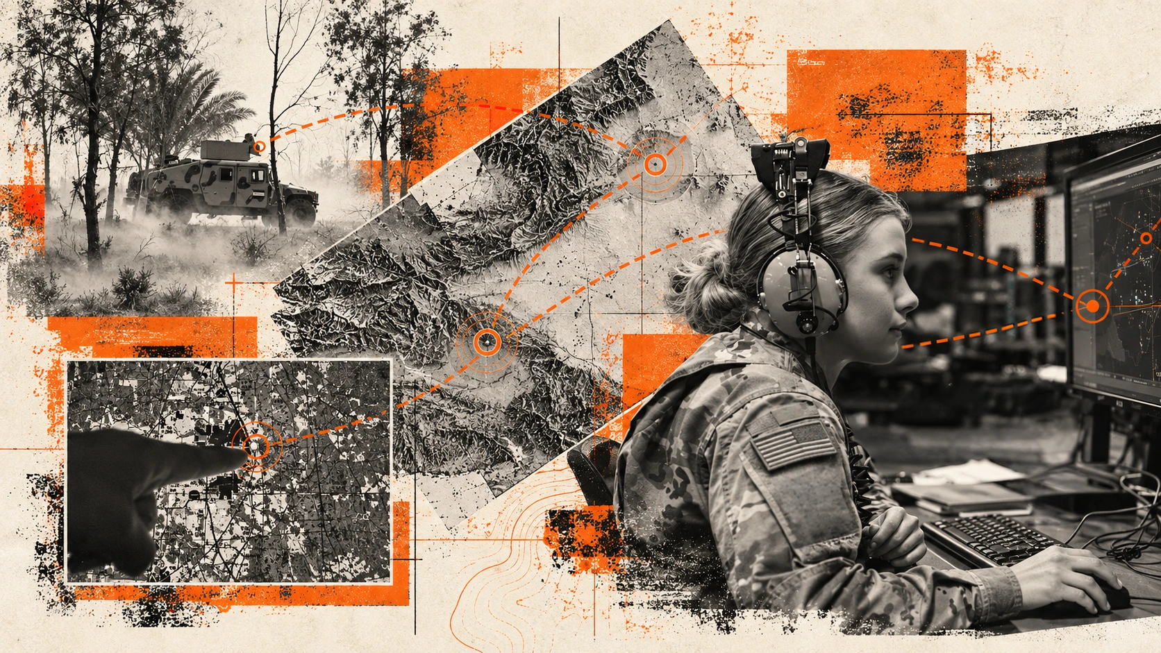
BFT systems integrate a GPS receiver, satellite communications hardware, a computer display and command-and-control software. The GPS receiver determines the platform’s position, while a satellite terminal and antenna transmit location reports and other operational data.
Geographic information system (GIS) software plots these reports on a digital terrain map, displaying the host vehicle alongside other tracked platforms. Friendly forces typically appear in blue, while reported enemy positions appear in red. Command-and-control functions support the exchange of orders and battlefield information.
Beyond location reporting, BFT systems support the exchange of text messages, imagery and operational updates. Users can report enemy positions and mark hazards such as minefields, obstacles and damaged bridges, adding geographic context to the shared operational picture.
Some systems also provide route planning and proximity alerts. Crews can enter grid coordinates to define waypoints and receive notifications as the vehicle approaches designated turns or critical locations, supporting navigation along planned routes.
The Evolution of Blue Force Tracking
Military operations involve personnel, vehicles, sensors, and unmanned systems working across different environments. Managing these resources through separate applications can make it harder to maintain a shared understanding of the mission. An integrated approach brings relevant information into a common operating picture. Leaders can assess personnel locations alongside equipment movement, physiological indicators, and aircraft positions, improving their understanding of activity across the field.
BlackOhm supports this approach by connecting tracking and monitoring capabilities through Omega COP and supported customer platforms. The result is a broader view of operations that extends beyond individual location markers.
Personnel Tracking With the Dismounted Tracking Unit
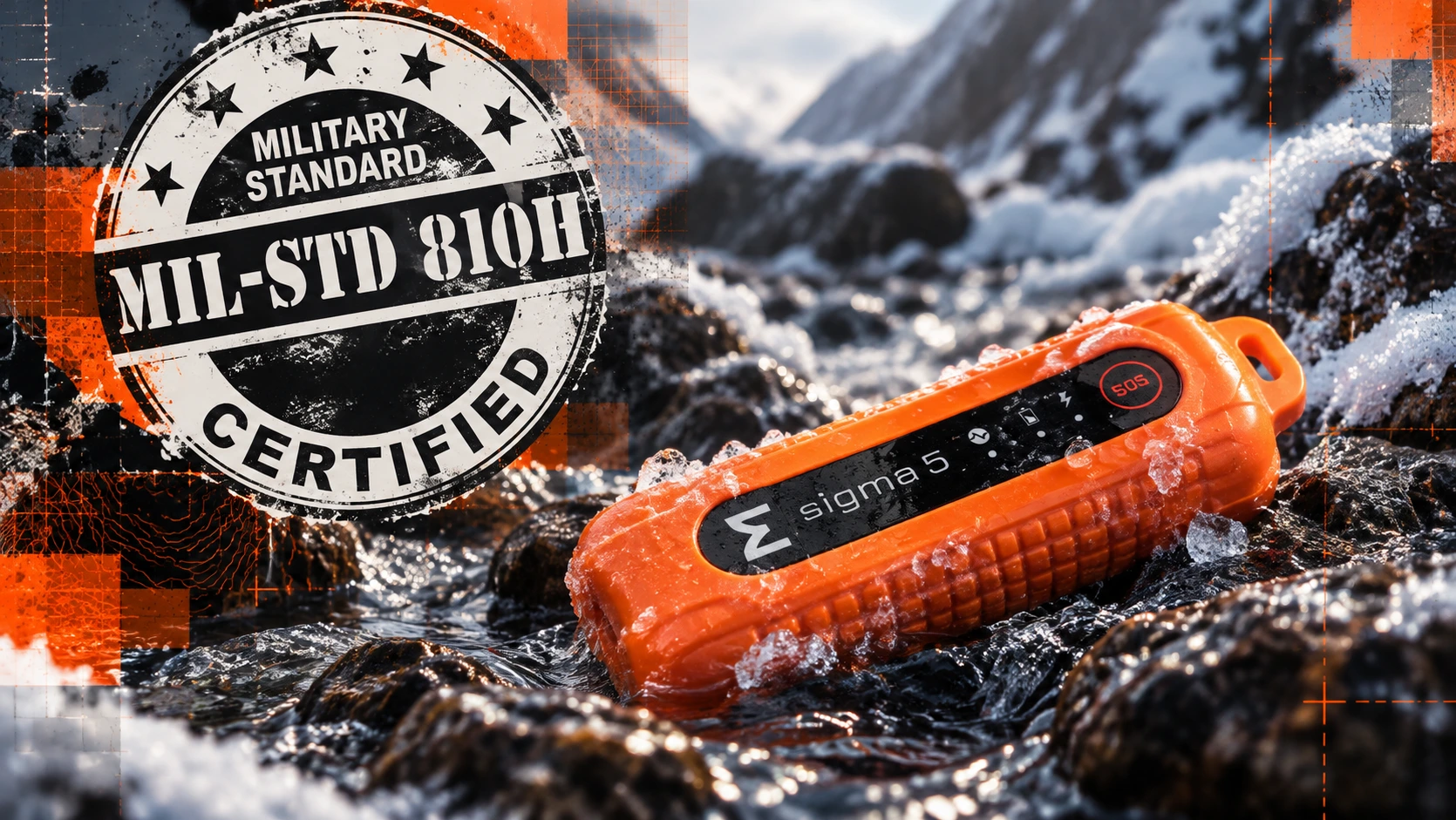
The Dismounted Tracking Unit (DTU) provides personnel and asset location reporting for military training and operational environments. Location updates, movement history, geofences, and SOS functionality help leaders maintain accountability and identify situations that require attention.
Available communications options include cellular IoT, LoRa, Bluetooth Low Energy, and satellite connectivity, depending on device configuration and deployment requirements. These options allow organizations to select communications capabilities suited to their operating environment.
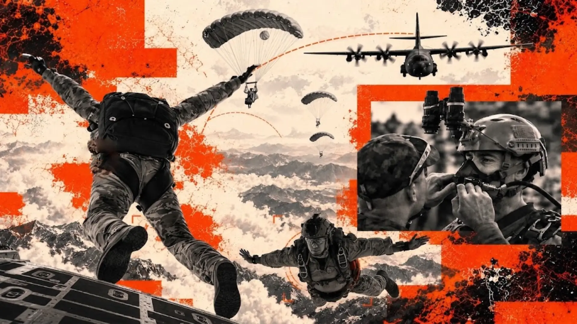
During land navigation, field exercises, and airborne training, DTU location data can help staff monitor participants and review movement afterward. Historical tracking also supports after-action analysis by showing how actual routes and activity compare with the training plan.
Physiological Monitoring With the Safety Physiological Monitor
Location provides one part of the operational picture. Physiological monitoring adds information about the condition of personnel performing demanding tasks.
The Safety Physiological Monitor (SPM) supports monitoring of heart rate, skin temperature, estimated core temperature, and Heat Strain Index. These indicators help designated staff assess physiological strain during training and other strenuous activities.
When reviewed alongside location information, physiological data can help staff identify personnel who may need assessment and locate them faster. This supports informed intervention while complementing established medical procedures, environmental controls, and direct observation.
By connecting personnel tracking with physiological monitoring, BlackOhm helps organizations maintain visibility into both accountability and physical strain.
Equipment and Logistics Visibility
Equipment accountability is another essential part of operational readiness. Leaders need to know where critical assets are and how they move throughout an exercise or mission.
BlackOhm’s asset tracking capabilities support visibility into equipment and logistical resources. Tracking data can help organizations locate tagged assets, review movement, and reduce reliance on manual inventory checks.
Bringing equipment information into the same operational environment as personnel tracking helps teams coordinate resources more effectively. Staff can assess available equipment alongside the locations of the people who need it.
Unmanned Aircraft Tracking With the Autonomous Tracking Unit
Small unmanned aircraft systems are increasingly important to military training, testing, and operations. Their locations also need to be visible within the broader operational picture.
The Autonomous Tracking Unit (ATU) provides GPS tracking for Group 1–3 sUAS. It supports aircraft accountability and location visibility through Omega COP or supported customer common operating pictures.
Integrating aircraft positions with personnel and equipment tracking helps teams coordinate activity across a shared environment. Operators and exercise staff can monitor aircraft movement, review tracking history, and support recovery efforts using available location data.
This capability helps organizations manage unmanned aircraft as part of the overall mission rather than through a separate tracking workflow.
One Common Operating Picture
Omega COP brings BlackOhm tracking and monitoring information into a browser-based operational platform. Personnel locations, equipment positions, physiological information, and unmanned aircraft tracking can be presented within a shared display.
Role-based access lets organizations control visibility based on user responsibilities. Device management capabilities, geofences, alerts, and historical movement data support both field monitoring and administrative oversight.
During an exercise, staff can use Omega COP to follow activity and review emerging alerts. Afterward, playback and movement history help teams examine routes, timing, and operational decisions.
This connection between live visibility and historical analysis supports both immediate coordination and improvements to future training.
Connectivity and Integration
Tracking performance depends on the communications capabilities available in the operating environment. Coverage, terrain, infrastructure, device configuration, and reporting intervals all affect how information reaches the operational display.
BlackOhm offers multiple communications options to support different deployment requirements. Selecting the appropriate configuration helps organizations align tracking capabilities with their training area, network access, and operational needs.
Supported integrations with platforms such as ATAK/TAK, CTC-IS, and Maven Smart System allow BlackOhm data to contribute to existing operational workflows. These connections help organizations incorporate tracking information into the systems their teams already use.
The Future of Blue Force Tracking
The future of Blue Force Tracking extends beyond displaying friendly locations. Personnel accountability, physiological monitoring, equipment visibility, and unmanned aircraft tracking all contribute to a more useful understanding of field activity.
BlackOhm brings these capabilities together through the Dismounted Tracking Unit, Safety Physiological Monitor, Autonomous Tracking Unit, Mounted Tracking Unit, and Omega COP. Each contributes information that helps leaders assess where resources are located, how personnel are performing, and where attention may be needed.
By connecting field devices with operational software and supported integrations, BlackOhm helps military organizations expand the value of Blue Force Tracking across training, safety, and mission coordination.