Pressure altitude is an important measurement in aviation, military freefall operations, and high-altitude navigation. Understanding how pressure altitude differs from GPS and barometric altitude helps explain how aircraft, navigation systems, and tracking devices determine vertical position under changing environmental conditions.
What Is Pressure Altitude?
Pressure altitude represents the altitude corresponding to atmospheric pressure under standard atmospheric conditions. It uses a reference pressure of 29.92 inches of mercury (inHg), equivalent to 1,013.25 hectopascals (hPa).
Atmospheric pressure decreases as altitude increases. A pressure altimeter measures surrounding air pressure and converts it to altitude using a standardized atmospheric model.
According to the Federal Aviation Administration, aircraft operating at or above 18,000 feet mean sea level in the United States use the standard 29.92 inHg altimeter setting.
Pressure altitude is particularly important for standardized flight-level references and aircraft performance calculations.
How Does Barometric Altitude Work?
Barometric altitude uses atmospheric pressure measurements to estimate elevation. Unlike pressure altitude, which uses a fixed reference, barometric altitude can be calibrated using local atmospheric pressure to approximate altitude above mean sea level.
Weather changes directly affect these measurements. The FAA notes that a 1 inHg error in the altimeter setting corresponds to approximately 1,000 feet of altitude error.
Temperature differences can add inaccuracies because actual atmospheric conditions don’t always match the standard model.
These variables matter most during operations involving rapid altitude changes or extreme environments.
GPS vs. Barometric Altitude
GPS and other Global Navigation Satellite Systems (GNSS) determine three-dimensional position using satellite signals rather than atmospheric pressure.
The two approaches measure altitude differently:
- GPS/GNSS altitude: Calculates geometric height using satellite positioning data.
- Barometric altitude: Estimates altitude from atmospheric pressure.
- Pressure altitude: Uses the standard atmospheric reference of 29.92 inHg.
GNSS initially determines height relative to a mathematical Earth model called an ellipsoid. Converting that value to elevation above mean sea level requires a geoid model, as NOAA’s National Geodetic Survey explains.
GNSS vertical accuracy depends on satellite geometry, signal quality, obstructions, and environmental conditions. Barometric measurements are unaffected by satellite reception but require proper calibration.
Why Altitude Tracking Matters in Military Operations
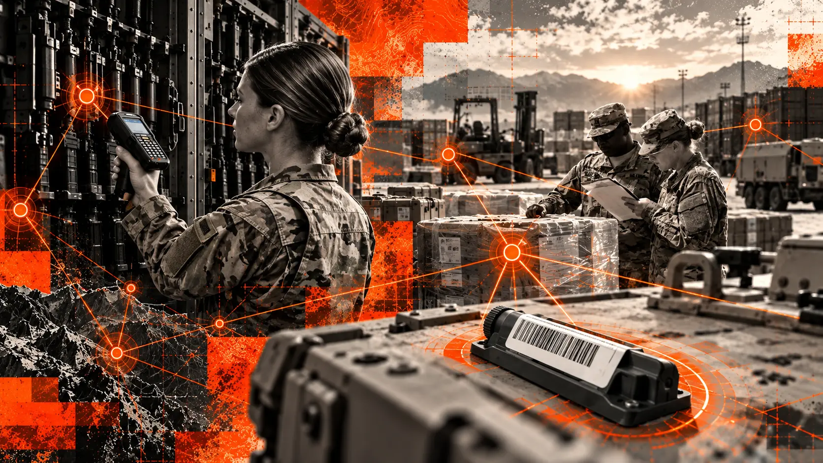
Military freefall training and airborne operations require accurate altitude, position, and movement data. These measurements support mission planning, aircraft coordination, navigation, and post-mission analysis.
During high-altitude operations, pressure altitude provides a standardized aviation reference, while GNSS tracking contributes geographic location and movement information.
BlackOhm’s Dismounted Tracking Unit (DTU) has been field-tested during military freefall operations, tracking personnel at altitudes up to 24,019 feet. The device has also supported military freefall training at Yuma Proving Ground, where airborne operations occur at altitudes ranging from about 9,500 to 25,000 feet.
Designed for demanding military environments, the DTU provides GPS-based location and movement data during high-altitude training.
Integrated with the BlackOhm Omega common operating picture, this technology helps exercise leadership maintain personnel accountability, track movement, and review operational data after airborne exercises. These capabilities provide valuable situational awareness while complementing dedicated aviation and parachuting altitude instruments.