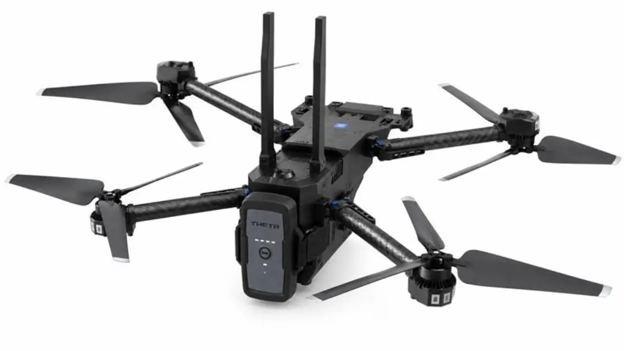
Land navigation training aims to build confidence, discipline, and effective decision-making under pressure. BlackOhm Sigma enhances it by providing cadre with a real-time layer of personnel accountability. Meanwhile, soldiers continue to depend on maps, compasses, terrain association, pace counts, and route planning to complete the course successfully.
In large and unfamiliar training areas, participants can easily become dispersed. Sigma provides location-tracking visibility that helps instructors understand where each participant is, identify prolonged stops or, and respond faster when a trainee may need assistance. So, the technology doesn’t replace core navigation skills or simplify routes to checkpoints. Instead, it enhances safety and oversight during exercises.
A Needed Layer of Accountability
Land navigation carries inherent risk because trainees often operate alone or in small groups across broad areas for several hours. Weather, heat, dehydration, injury, poor visibility, disorientation, and simple navigation mistakes can turn a routine training event into a recovery effort.
Historical incidents show why accountability matters. In 2018, two Army ROTC cadets became disoriented during a land-navigation event and spent nearly 24 hours in a Hawaii training area before returning safely. The search involved more than 200 Soldiers and emergency personnel. In 2023, an Army staff sergeant was found dead after failing to return from a land-navigation course in South Carolina.
These cases do not diminish the value of demanding field training. They underscore the need for leaders to maintain awareness of personnel intentionally dispersed across challenging terrain. Sigma can help reduce the time between recognizing an accountability concern and initiating a focused response.
Preserving Land Navigation Skills While Improving Safety
Using Sigma in land navigation training helps maintain a practical balance. It keeps the necessary skills of using a map and compass while improving cadre awareness. Training personnel can establish accountability procedures, monitor course participation, verify that trainees remain within approved boundaries, and quickly narrow the search area if someone misses a checkpoint, deviates from a route, or fails to report at the designated time.
This added visibility is particularly valuable for night land navigation, extreme-weather events, large courses, or students still developing field confidence. Depending on configuration and operating conditions, Sigma can deliver location accuracy within 1 meter. It can support air-to-ground communication ranges exceeding 75 miles and battery performance lasting up to four months. Rather than waiting hours to reconstruct a missing participant’s route, cadre can use current and historical location data to narrow the search area. They can then direct responders toward the relevant section of the course.
Strengthening After-Action Reviews
Sigma also enhances land navigation after-action reviews by recording each trainee’s movement track across the area. Cadre can compare planned routes with actual movement to identify missed checkpoints, deviations and extended halts. Historical location data supports detailed analysis of terrain association, pace counts, handrails, and attack points.
Aggregated data can also reveal recurring problem areas that require adjusted checkpoint placement or stronger risk-management controls. These insights can enhance course design and risk management procedures, making future land navigation training safer and more effective.
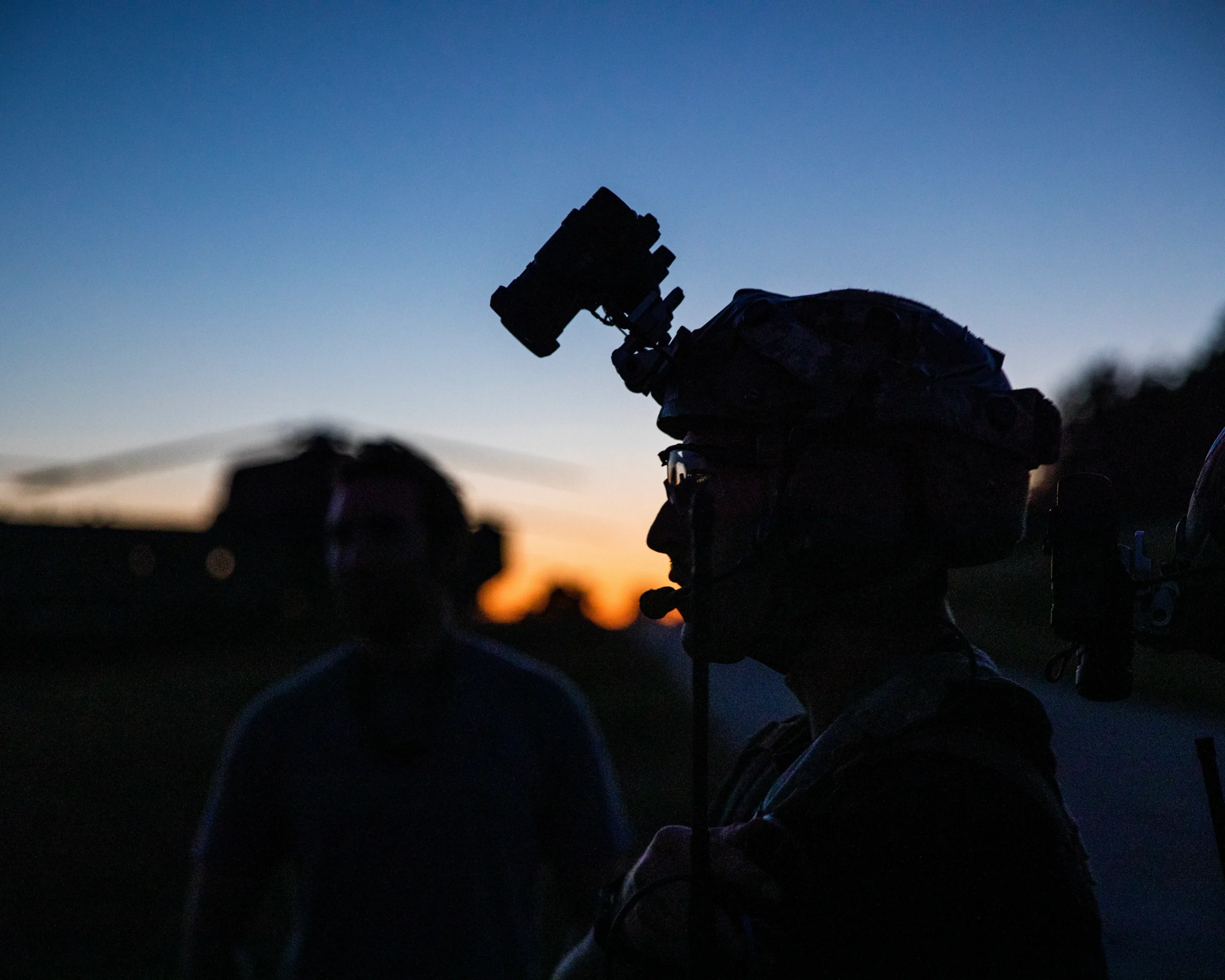
*U.S. Army photo by Sgt. Kammen Taylor
*The appearance of U.S. Department of War visual information does not imply or constitute DoW endorsement.