Unmanned aircraft systems are becoming a larger part of military training, testing, and operational planning. As more aircraft operate across the same battlespace, UAS tracking gives commanders and operators independent visibility into where drones are, where they have been, and where they were last detected.
The broader UAS environment continues to grow. At the end of 2025, the Federal Aviation Administration reported approximately 424,000 active Part 107 registered aircraft. That was about 24,000 more than in 2024. The agency also reported that the registry grew by nearly 2,000 aircraft per month during 2025.
In 2023 and 2024, monthly growth averaged approximately 3,740 and 3,160 aircraft, respectively. These numbers reflect civilian operations, but they illustrate how quickly unmanned systems are expanding across the aviation landscape.
UAS Tracking for Military Operations
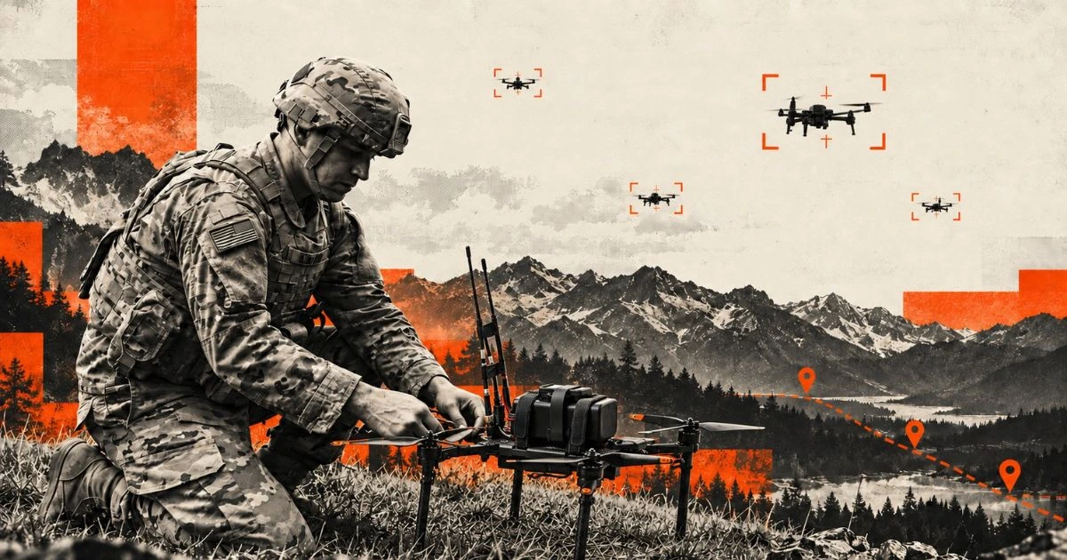
Military organizations may operate multiple small unmanned aircraft systems across large training areas, complex terrain, and environments where communications become unreliable or unavailable. As aircraft spread across multiple teams, platform-specific control links can make it harder to maintain a unified view of operations.
UAS tracking adds a separate layer of location awareness. A dedicated tracker can provide position data, movement history, geofence alerts, and last-known-location information independently of the aircraft’s normal navigation or control system. That visibility can help units maintain accountability from launch through recovery and reduce the time required to locate an aircraft after an unexpected landing or loss of communications. For range operations, this can provide leaders with clearer visibility across simultaneous UAS activity.
The U.S. Department of War has also identified unmanned systems as an increasingly important operational challenge, noting that these technologies are changing how wars are fought. That shift makes reliable visibility into friendly unmanned platforms increasingly relevant for training, testing, and mission coordination.
BlackOhm Theta
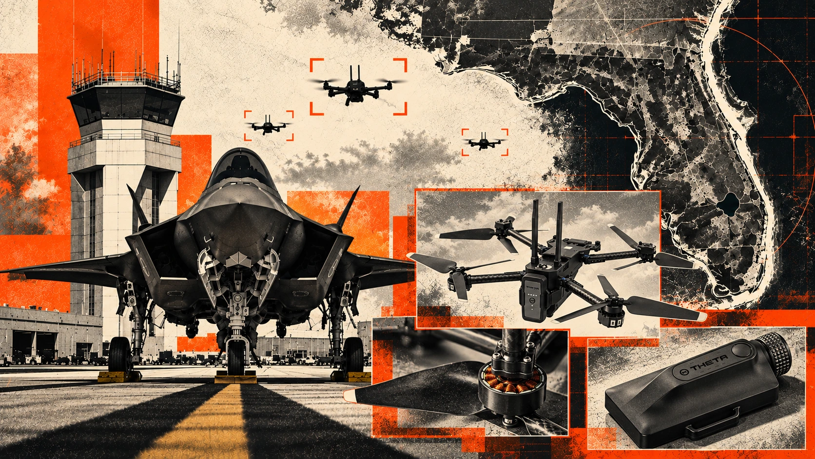
BlackOhm Theta offers independent UAS tracking for small unmanned aircraft, providing an additional source of location data beyond the aircraft’s primary system. Integrated into BlackOhm’s ecosystem, users can track aircraft alongside personnel and other mission assets for a comprehensive operational view. Historical movement data aids in recovery efforts and after-action reviews.
As UAS fleets grow, effective tracking enhances accountability, awareness, and management of multiple aircraft in complex environments. BlackOhm Theta adds real-time location visibility, boosting confidence in tracking, strengthening fleet accountability, and supporting informed decision-making during flight operations.