
What Is Pressure Altitude? GPS vs. Barometric Altitude
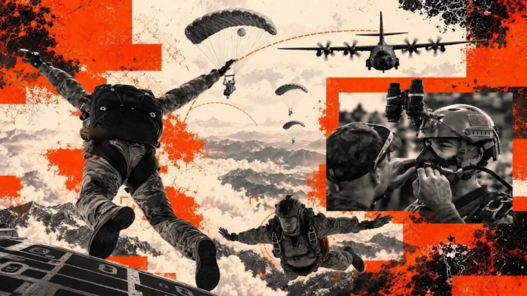
Understanding GPS and barometric altitude helps teams interpret vertical position during high-altitude operations. BlackOhm’s Dismounted Tracking Unit adds location and movement data to support airborne training accountability.
MIL-STD-810H Standards Behind Rugged Tracking Technology
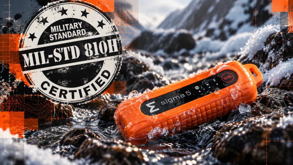
MIL-STD-810H defines environmental test methods for evaluating hardware under temperature extremes, vibration, shock and other field stresses. BlackOhm devices undergo selected tests to evaluate durability for demanding training and operational environments.
BlackOhm Delivers Continuous Asset Visibility Beyond Fixed RFID Checkpoints

BlackOhm provides superior asset-tracking capability for organizations that cannot afford uncertainty. Unlike conventional Radio-frequency identification (RFID) systems that depend on fixed gateways, portals, or reader checkpoints, the company uses active tags to deliver continuous visibility across facilities, vehicles, yards, and deployed environments.
BlackOhm Supports Mississippi National Guard Land Navigation Training at Camp Shelby

BlackOhm has received an order to provide its Alpha GPS and physiological monitoring solution to the Mississippi National Guard for Officer Candidate School land navigation training at Camp Shelby Joint Forces Training Center.
Common Operating Picture for Real-Time Operational Awareness

A common operating picture (COP) provides leaders with a unified view of personnel, equipment, and mission-critical assets, crucial when operations become decentralized. Without this shared view, teams can waste time reconciling conflicting information.
BlackOhm Team Connects with Air Force Communities Across Three Florida Technology Expos

BlackOhm participated in three technology expos across Florida this week, engaging with U.S. Air Force personnel, government stakeholders and industry partners at Tyndall Air Force Base, Hurlburt Field and Eglin Air Force Base.
Improving Military Drone Visibility with Theta UAS Tracking
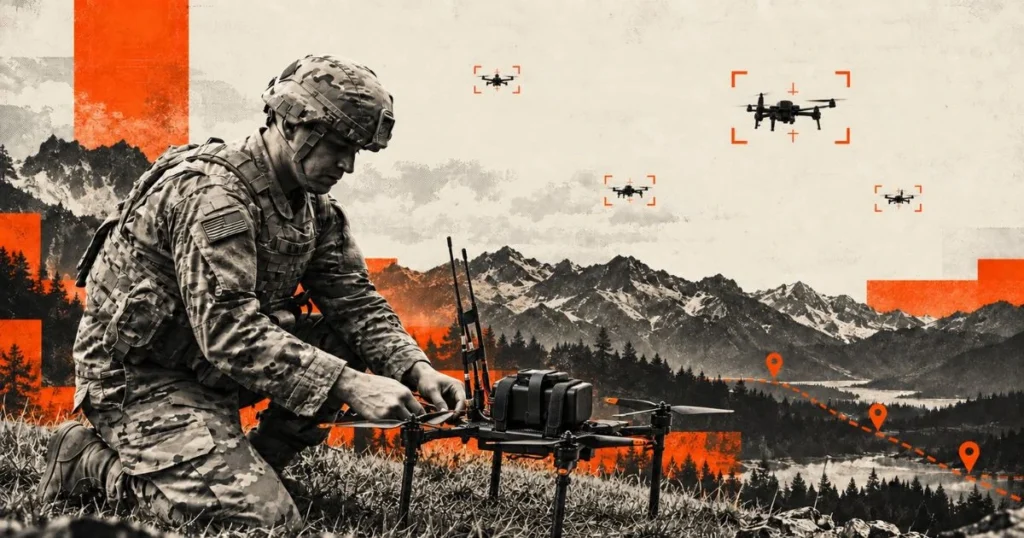
Unmanned aircraft systems are becoming a larger part of military training, testing, and operational planning. As more aircraft operate across the same battlespace, UAS tracking gives commanders and operators independent visibility into where drones are, where they have been, and where they were last detected.
BlackOhm Presents Tracking and Monitoring Technology at Phoenix Spark Industry Day 2026
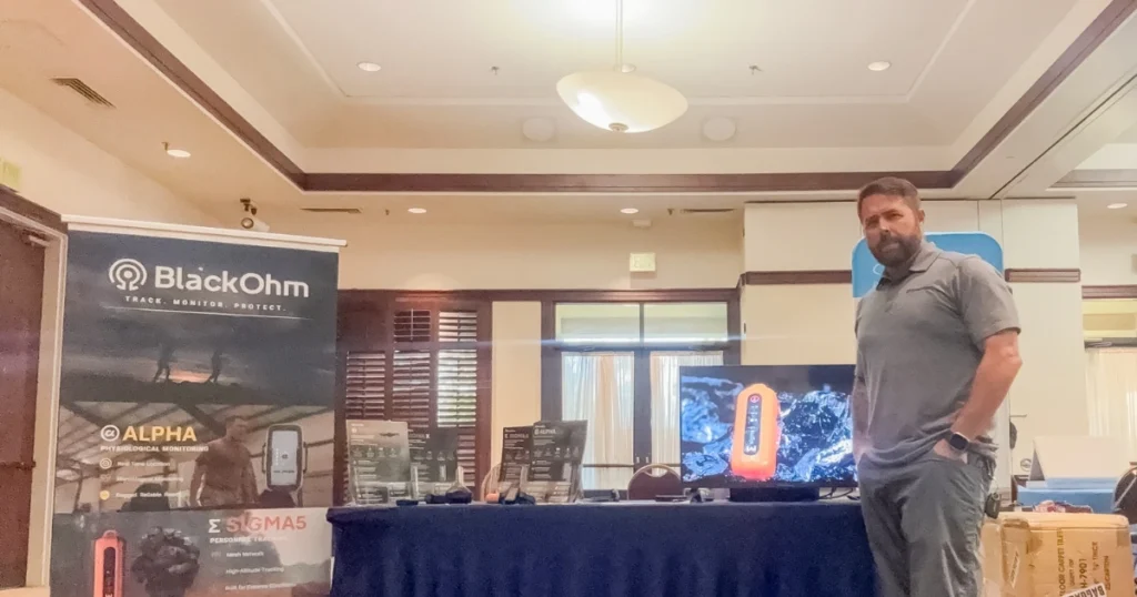
BlackOhm presented its connected tracking and monitoring technology at Phoenix Spark Industry Day 2026. The team engaged with Air Force personnel, defense innovators, and industry partners focused on advancing readiness, mobility, and mission effectiveness.
BlackOhm Awarded U.S. Army Contract to Sustain Soldier Monitoring System II Program of Record
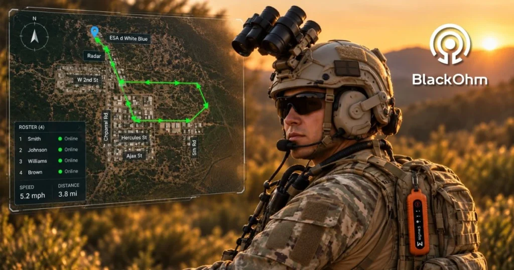
BlackOhm has been awarded a contract by the U.S. Army to continue operating, maintaining, and securing the Soldier Monitoring System II, an established Army Program of Record.
BlackOhm Theta Provides Independent Drone Tracking for Military Operations
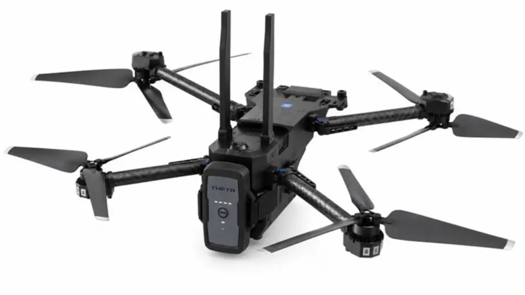
Military training increasingly depends on unmanned aircraft systems, but managing dozens or hundreds of drones across a training area creates a visibility problem. A pilot may know where one aircraft is. The unit next to that pilot may know as well. Commanders need a common operating picture that shows where every UAV is, whether it is moving, and where it last operated.